Hello, I'm MOBASSHARA AHMAD SNIGDHA
A
Self-driven, quick starter, passionate researcher with a curious mind who enjoys solving complex and challenging real-world problems.
About
I graduated from UNIVERSITY of DHAKA with an M.S. in Urban and Regional Planning and Development and B.Sc in Geography and Environment. My areas of interest in research are Climate Change, Urban Geography, Urban Heat Islands, Watershed Management, WASH, Environmental Health, Disasters and Hazards, Community Resilience, and Geospatial Analytics. I like learning about GIS, Remote Sensing and other geospatial analytical techniques and using them to meet real-world challenges.
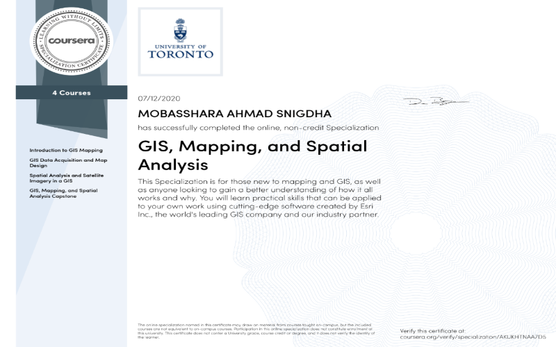
- Geographic Information System: ArcGIS, ArcGIS Pro, QGIS, Global Mapper, ArcGIS Online, ESRI
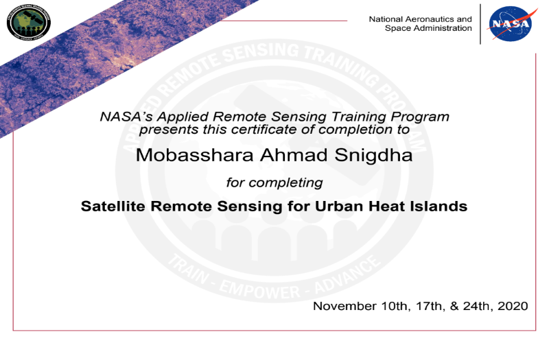
- Remote Sensing: ERDAS Imagine, Google Earth Engine, ENVI, EarthExplorer (USGS)
- Languages: Python, SQL, JavaScript
- Softwares: LATEX, SPSS, Google Analytics, Microsoft Office, Adobe Illustrator
Looking for an opportunity to work in a challenging position, which provides professional development, interesting experiences and personal growth.
Experience
-
Quantitative and Qualitative Research
-
Questionnaire Design
-
Statistical Data Analysis
-
Geographic Information Systems (GIS)

-
Compile geographic and demographic data from multiple sources
-
Assist, update, and maintain GIS data on the CBF-supported projects
-
Create simple to complex static and online maps.
-
Support in developing different CBF databases
-
Assist in preparing papers, blogs, working papers, documents, and other assignments
-
Provide GIS support to the CBF Secretariat
-
Develop and update on CBF fund database
-
Assist in the production of the quarterly and annual progress report
-
Collaborate with the Climate Change Window (CCW) and Emergency Response Window (ERW) team assisting in particular on logistics
-
Under the supervision of the Manager, Operations: assist in the development of knowledge materials e.g. e-newsletter, project brief, project database; provide website updates; and other matters associated with CBF operations.
-
Identification of the vulnerable geographical areas of lightning based on casualties.
-
Identification of the possible geographical locations to install the lightning protectors/ devices by analyzing the geospatial datasets.
- Preparation of location maps to install the lightning protectors/devices.
-
Discovering Floating Forests:
Classifying Kelp on the Edges
-
GLOBE Observer:
Help monitor the conditions of clouds, water (especially as a habitat for mosquitoes), and plants, and see change over time
- MAPPPD: Mapping penguin populations and finding all the penguin colonies in Antarctica
-
Invader ID:
Tracking changes in coastal environments by identifying marine invertebrates
-
Plankton Portal:
Marking images of plankton taken by an underwater imaging system
- Fossil Atmospheres: Counting cells of modern fossil leaves to help track climate change.
Research
June 2022- May 2023
This study addresses the issues that are currently present in the solid waste disposal system in Bangladesh and suggests a smart solution that initiates from the neighborhood level. It also tries to find out what peoples’ perspectives are towards this new approach and whether or not they are willing to participate by changing their waste disposal habits for greater national interests.
Changes in Landuse Patterns and Socio-economic Conditions of Mandra Mouza, Munshiganj
November 2021- January 2022
Identified the drivers of land use change in combination with environmental and socioeconomic dynamics observation at the semi-urban level in order to provide a comprehensive updated land use database to facilitate planned urbanization in the study area.
September 2021- February 2022
It is a project by the Department of Disaster Management (DDM), Ministry of Disaster Management and Relief, Government of Bangladesh, and implemented by the Department of Meteorology University of Dhaka to reduce the increasing death counts in Bangladesh due to frequent and intense lightning hazards.
Geomorphological and Environmental Characteristics Analysis of Sonadia and Maheshkhali Islands
November 2019- February 2020
Prepared the very first Geomorphological and Land-use Maps of Sonadia Island, as well as analyzed the Sand Dunes and the Soil Profile in the study area. Besides, conducted a Slope and Vegetation survey on the Mainak Hill of Moheshkhali Island of Cox’s Bazar district of Bangladesh.
Local People’s Access to Safe Drinking Water: A Case Study at Mongla, Bagerhat District
November 2018- March 2019
The goal of the study was to explore the drinking water sources in Mongla, Bagerhat district, and assess local people’s adjustment to the scarcity of safe drinking water due to the increasing frequency of cyclones and salinity intrusion in that area triggered by climate change.
Environmental and Socio-economic Analysis of Narayanganj Jamdani Polli
October 2017- January 2018
Assessed local artisans’ socioeconomic and living conditions, who still keeping the old way of crafting alive in the era of machinery, by taking personal interviews and conducting questionnaire surveys, and focus group discussions.
Skills
Geographic Information System
 ArcMap
 ArcGIS Online
 QGIS
QGIS
 Global Mapper
 ESRI
ESRI
 ArcGIS Pro
Remote Sensing
 ERDAS Imagine
 EarthExplorer
Languages
 SQL
SQL
 JavaScript
Softwares
 LATEX
LATEX
 SPSS
SPSS
 Google Analytics
 Microsoft Office
 Adobe Illustrator
Education
Dhaka, Bangladesh
Degree: M.S. in Urban and Regional Planning and Development
CGPA: 3.82/4.0
- Urban Planning Development and Management
- Urbanization and Urban System
- Regional Planning and Development
- Urban Environmental Management & Planning
- Natural Hazard, Disaster and Disaster Management
- Marine and Coastal Environment
- Urban Studio Lab
Relevant Courseworks:
Dhaka, Bangladesh
Degree: B.Sc. In Geography and Environment
CGPA: 3.63/4.0
- Climatology
- Oceanography and Marine Environment
- Geomorphology
- Geology
- Advanced Data Concepts in GIS
- Spatial Analysis and Modeling
- Remote Sensing
- Image Processing and Analysis
- Environmental Analysis and Management
- Research Methods and Field Survey
- Quantitative Techniques in Geography and Environment
- Urban Geography
- Landuse Survey, Planning and Development
- Ecology Environment and Plants
Relevant Courseworks:
SAIDPUR GOVT. TECHNICAL COLLEGE
Saidpur, Nilphamari
Degree: Higher Secondary School Certificate
GPA: 5.0/5.0
- Calculus
- Higher Mathematics
- Chemestry
- Physics
- Zoology
- Botany
- Information & Communication Technology
Relevant Courseworks:
SAIDPUR CANTONMENT PUBLIC SCHOOL & COLLEGE
Saidpur, Nilphamari
Degree: Secondary School Certificate
GPA: 5.0/5.0